🥾 Walk 571 - Ham, Buttermere, Combe Gibbet and Inkpen
On Sunday 23rd April, twelve of us met up by the village green in Ham, a tiny village near Shalbourne, a few miles south of Hungerford. Ian, the walk leader, did his introductory speech and we set off along the lane that heads south out of the village. As we did so, we were joined by another walker, who had taken longer than expected to find the place. So now we were thirteen in number.
Leaving the road for a footpath, we followed the Mid Wilts Way through farmland to the foot of Ham Hill. At this point, one of our members, who hadn't been feeling that well at the start of the walk, decided to turn back. So now we were twelve again.
Ham Hill was a steep slog, taking us up by about 100m (330ft) in altitude over a fairly short distance. Catching our breath at the top of the hill, we admired the view before continuing on the Mid Wilts Way along the top to the west.
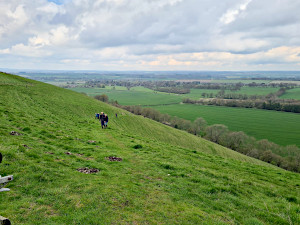
Leaving the Mid Wilts Way we turned south toward Buttermere - not the Cumbrian lake, but a tiny village with a tiny church. Ian likes his churches, so we stopped off to have a look around it before continuing our walk.
A footpath by the church took us along Buttermere Bottom and to Buttermere Wood. Then is was an uphill yomp to get us onto Sheepless Hill where we joined the Test Way - a long-distance path that goes from the nearby Walbury Hill down to Eling, near Southampton. We followed this northward to Combe Gibbet on Gallows Down.
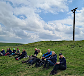
The gibbet itself is a replica, erected in 1992 on the spot were the original one had been. The original gibbet, erected in 1676, was used only once to hang a man and women that were having an affair and had murdered his wife. The prominent location was chosen to deter others.
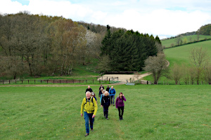
We stopped here to have our lunch and admire the view before heading down the steep northern side of the hill and following a bridleway northward to the village of Lower Green. As we approached the village, we stopped at St Michael's Church (one of Ian's favourite churches in the area) for a look around.
The village green had a circular bench surrounding a tree, which gave us an opportunity for a quick sit-down before continuing the walk. Heading north, we reached Balsdon Farm where there is a five-way crossroads of footpaths. Ian did his usual trick of pretending not to know which path to take. Our visitors found this slightly disconcerting.
We headed west along a hedged path and into a wood when suddenly everyone's phones began to emit an unusual alarm. This was a test of the new government emergency warning system. Now we know what it sounds like.
Passing through the grounds of Totterdown House, with its display of daffodils and wild flowers, we joined one of the many Berkshire Circular Routes that appear on Ordnance Survey maps and followed it to Mount Prosperous, where we had been on another of Ian's walks a month ago.
One of our walkers was getting concerned about keeping an appointment later that afternoon and so we split into two groups, one marching ahead while the other took a more leisurely pace. The last leg of the walk was across farmland and then through a large garden of a private house before emerging back in Ham. See our route on Google Maps, which included 570m (1,870 ft) of ascent in total. Most of the group stayed for a drink at The Crown and Anchor before heading home.


Thank you to Ian for leading this walk and providing two of the photos.
📸 Back to Volume 44
Return to volume index