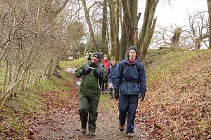
On Saturday 10th March, six of us met up on White Hill for a ten-mile walk, despite the dismal weather forecast (which as it turned out, was rather pessimistic). We set off along the top of Cannon Heath Down, on the Wayfarer's Walk. It wasn't exactly raining, but very low cloud. We could only see the bottom half of the TV transmitter mast at Hannington. The top was lost in mist.
As we passed over the top of Watership Down, we stopped to take a look at the Richard Adams memorial tree and plaque. Richard Adams was a local lad and was working as a civil servant when he began writing in his spare time. His first novel, Watership Down, was set in the immediate area of our walk.
Leaving the Wayfarer's Walk at Nuthanger Down, we descended to Sydmonton, home of Lord Lloyd Webber. Passing through the Sydmonton Estate and Watership Farm, we took a footpath up a steep hill to Nuthanger Farm. This farm and its raised barn feature in the Watership Down book, as do a number of other landmarks we passed on this walk.
At the top of the hill we were able to look back at Cannon Heath and Watership Down, where we had been earlier. We descended toward Ecchinswell but bypassed the village and headed to Southwood Copse. Here we stopped for our picnic lunch, finding some fallen trees to sit upon.

After lunch we passed by the fishing lakes at Frobury Farm, through the open fields of Porch Farm, and into Kingsclere village. Here we stopped off for a drink at The Crown pub, opposite the church. I think there may have been a wedding at the church that day, as some people popped into the pub who were rather more smartly dressed than we were!
Refreshed, we headed up through the village to the recreation ground and then back down to the gallops at the Park House Stables. Crossing these to Freemantle Park Down, we decided to ascend White Hill by a lesser used and much steeper footpath. This proved quite challenging, especially for me as my asthma was playing up that day.
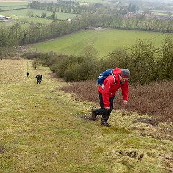
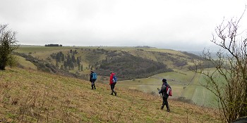
At the top of the hill, we followed a well-established footpath, that isn't on my map, which crosses over Stubbington Down to White Hill. This gave us impressive views of The Warren, Combe Hole and Watership Down (all of which we couldn't really see when we walked along the top of them that morning). See our route on Google Maps.
According to my GPS, we managed a total of 510m (1,700ft) of ascent during this walk. It certainly felt like it!
Return to volume index